
Tag: event info
-
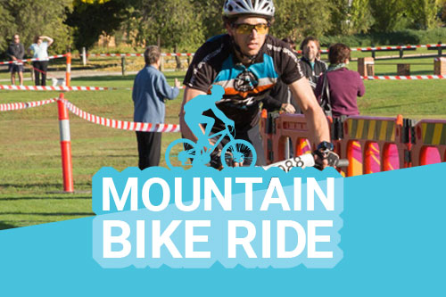
Mountain Bike Ride
—
by
“Ride the Hill then ‘Run’ it to ‘Nail’ the hill like an Ironman” Did you know that there is also a Mountain bike ride over Nail Can Hill before the run that you can enter as well and become a Nail Can Hill Ironman/Ironwoman. The 15km MTB ride starts at 8am from the same starting…
-
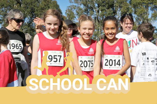
Primary School Can
—
by
In 2016 the Primary School Can was introduced. The introduction of the 4.3km “Half Can Event” has been a huge success with over 500 participants taking part. Many of these participants are primary school age kids who often bring at times reluctant mums, dads or grandparents along for the run as well. This shorter 4.3…
-
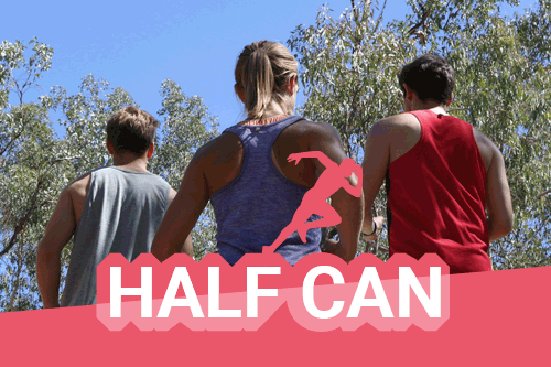
Arnold’s Half Can
—
by
Start Line is at Bonnie Doon Park. After running the length of the reserve the next 450 metres to the Nail Can Hill reserve rises slightly, crosses Banksia Street, and meanders through the trees. Then there is a right angle turn to the east/right. The track follows an undulating trail along the northern side of…
-
Vitasoy Nail Can Hill Run – The Full Can
—
by
The course is run mainly along the ridge of the Nail Can Range that borders Albury on the west side. The distance of the run is 11.3km. The route consists mainly of fire access tracks with short sections of gravel and bitumen roads. The course is marked with kilometre markers and directional arrows and lines.…